
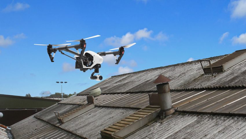
Roofs &
Chimneys
Capture high-resolution aerial imagery to safely assess shingle and brick damage prior to more costly damage and repairs.
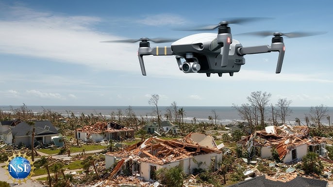
Storm Damage Assessment
Capture high resolution aerial imagery from both air and ground. Assesses damage and insurance claims without more costly & less accurate ground-based inspections only.
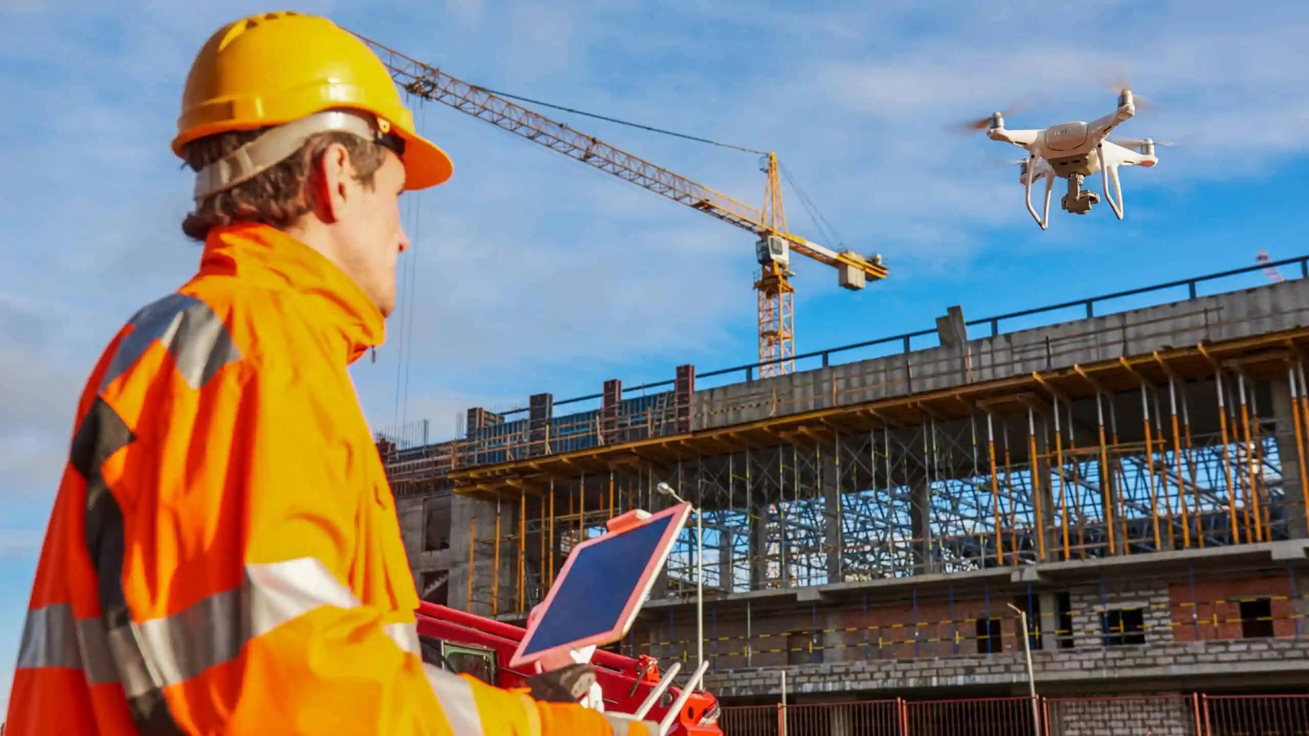
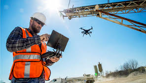
Construction &
Work Sites
Monitor progress, site safety, and project development with precise aerial imaging.
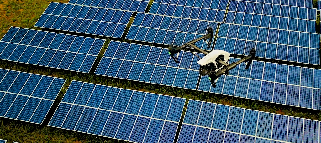
Solar Panel
Monitoring
Inspect installations to identify panel damage prior to potential outages & more costly repairs.
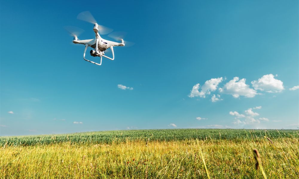
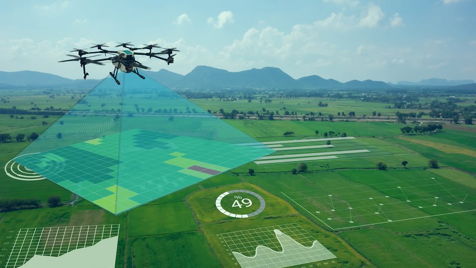
Agricultural Land
Surveys
Gather accurate aerial data to analyze crop health, irrigation patterns, and yield issues.
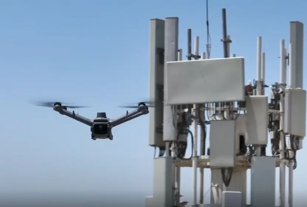
Radio Tower
Inspections
Perform safe, detailed inspections of electrical connections and structural components without the need for risky climbs, downtime, or costly alternatives
Bridge
Assessments
Deliver comprehensive aerial visuals to safely detect wear, cracks, and structural concerns in hard-to-inspect areas.
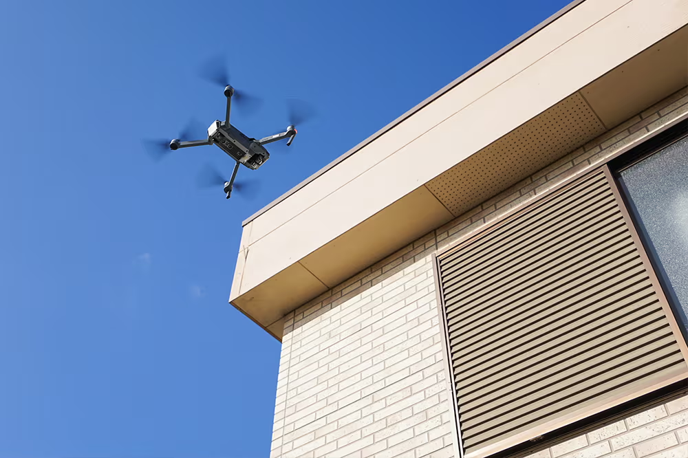
Facade & Structural Reviews
Evaluate building exteriors and structural components through clear, close-range aerial imaging.
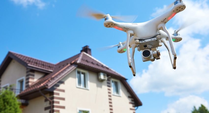
Real Estate
Showcasing
Present properties with cinematic aerial views that highlight location, scale, and visual appeal.
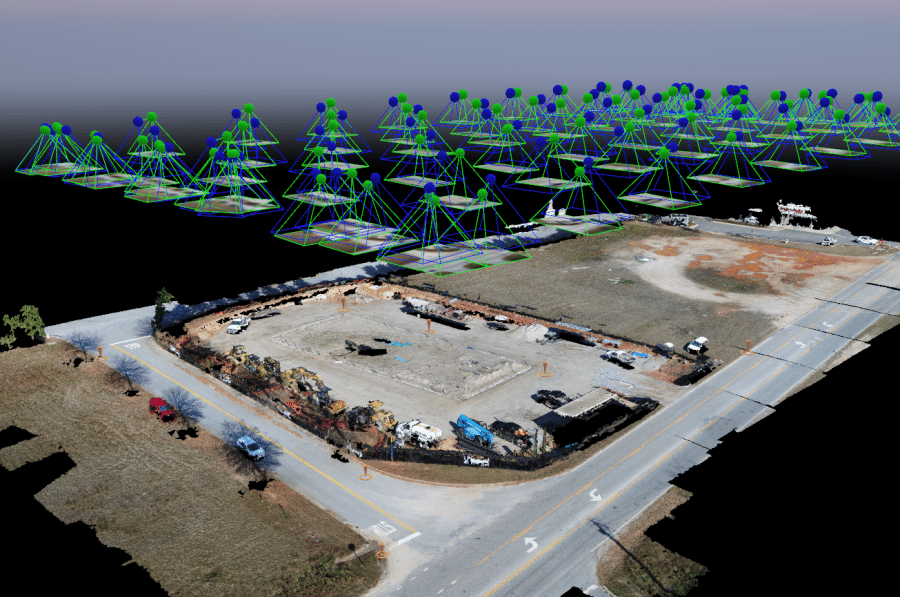
2D Mapping from Aerial Images
Uses GPS information to create accurate 2D maps. Provides visualization & measurement of distances and areas by stitching together many aerial images into a single, large-scale map. Agriculture, Construction, Industrial, etc.
3D Models of Man-Made & Natural Objects
Generates accurate 3D digital models for planning, analysis, and visualization while providing accurate measurements of distance. elevation variation, and volume of piles or depressions of captured areas.
Periodic Photos of Construction Site Progress
Repetitive photos of work site to monitor progress for contractor payments. May be mandatory for government construction reporting or 3rd party contractor progress.