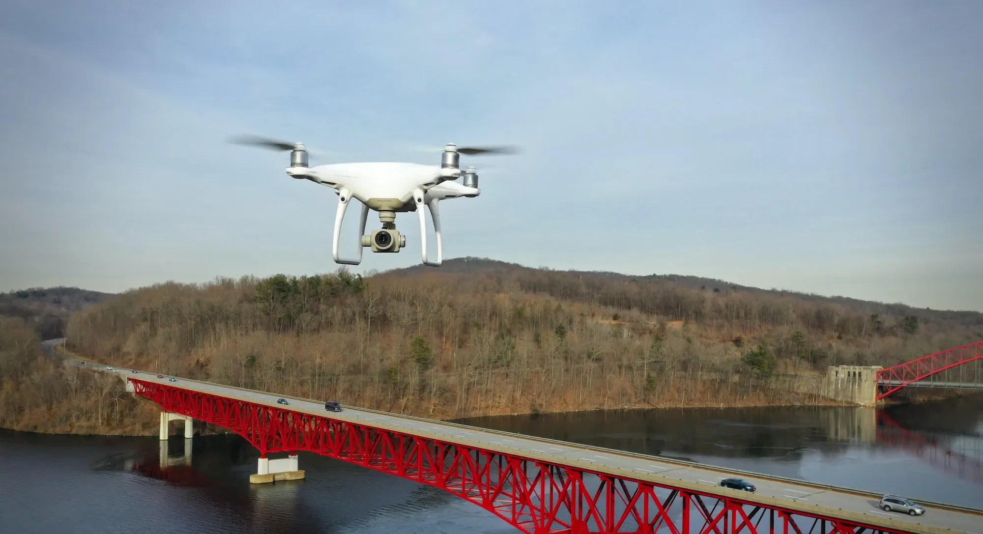
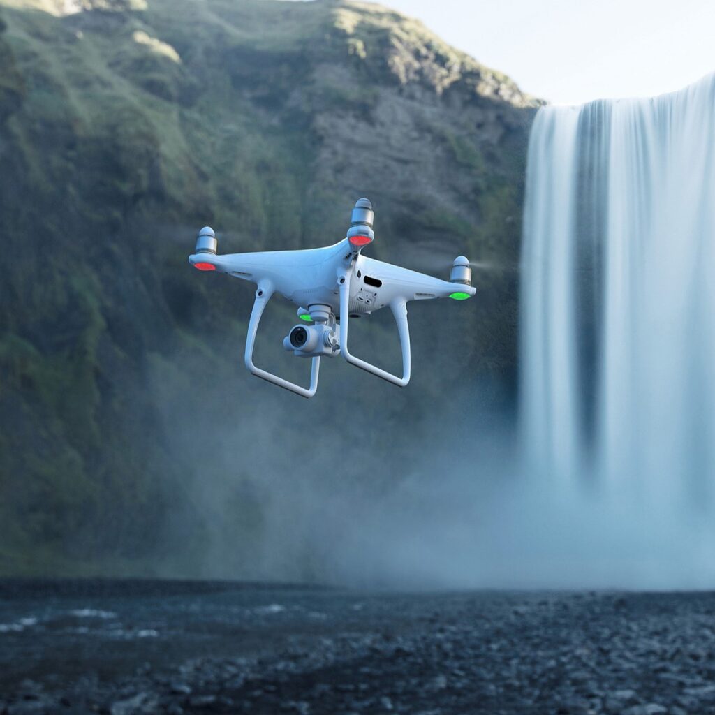
Phantom 4 Pro

Home

>

Phantom 4 Pro

The Phantom 4 Pro V2.0 is the precision mapping and modeling workhorse.

Phantom 4 Pro V2.0

The Phantom 4 Pro V2.0 is the precision mapping and modeling workhorse. This aircraft is known in the industry as one of the most trusted drones for measurement-based missions. The P4 Pro V2.0 produces highly accurate mapping data that allows 2D and 3D models to be created with reliable scale and measurement consistency. If a project requires measurable documentation, this is the tool dedicated to that job.

Mapping & Modeling

This platform is built for 2D topographic mapping, 3D volumetric modeling, land analysis, and visual documentation. The reason is simple: it’s equipped with a mechanical shutter. This eliminates rolling-shutter distortion, which allows fast-moving objects and flight movement to be captured without distortion or blurring.

Camera Specifications
Flight Performance

Flight Performance

The Phantom 4 Pro V2.0 is engineered specifically for precise flight paths and data-accurate missions. The camera gimbal can tilt from -90° straight down to +30° upward, giving the pilot the flexibility to capture different angles required for analysis and documentation. With 300° obstacle avoidance coverage, the aircraft maintains strong awareness of its surroundings, helping protect flight integrity in active environments. The Phantom platform is extremely stable during grid and survey style flight patterns, which is essential for producing accurate map tiles, consistent image overlap, and reliable data alignment.

Ideal For

This drone is purpose-built for measurement-based outcomes. It is highly capable for 2D mapping, 3D modeling, land and agriculture visual analysis, and construction measurement documentation over time. The Phantom 4 Pro V2.0 delivers the consistency, precision, and stability needed for surveying-style deliverables, making it a core tool for data-driven evaluation and professional site modeling.
Scroll to Top